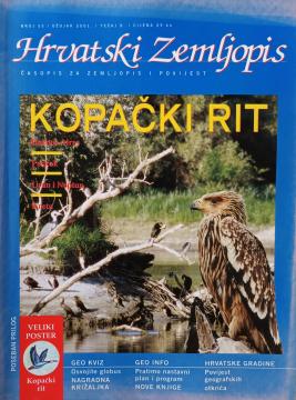
Hrvatski zemljopis # 55 - ožujak 2001: Kopački rit
Angeboten wird ein Exemplar

Angeboten wird ein Exemplar
Interessieren Sie sich für ein anderes Buch? Sie können das Angebot über unsere Suchmaschine suchen und finden oder Bücher nach Kategorien durchsuchen.
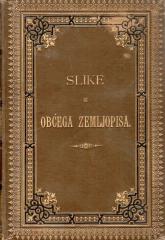
„Slike iz obćega zemljopisa“ popularno je geografsko djelo koje prikazuje Bugarsku, Srbiju i Crnu Goru kroz prirodne osobitosti, stanovništvo, povijest, gospodarstvo i kulturu, uz brojne ilustracije i zemljopisnu kartu.
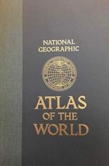
The fifth edition of the National Geographic Atlas of the World from 1981 is a monumental cartographic work. It contains detailed maps, satellite imagery, and geographic data from the height of the Cold War.
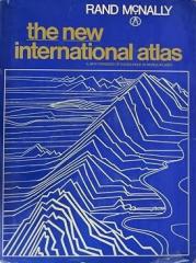
The monumental cartographic work The New International Atlas by Rand McNally from 1980 provides extremely precise multilingual maps and a detailed overview of the geopolitical landscape of the world during the Cold War.
This educational geography reader by Zvonimir Petek offers an exciting overview of various regions and peoples. Through accessible texts, the book describes natural resources, neighboring countries, and distant lands.
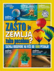
WHY do rainbows form? Why are leaves green? Why does the Earth spin fastest at the equator? Why can't they dig a path to the other side of the earth? Why is the sea salty? Why do we ask why? Because we always want to learn something new!
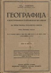
A rare interwar edition of a geography textbook (Belgrade, 1934) with 11 color atlas maps and 150 illustrations. Valuable as an antiquarian and cultural-historical document of education and cartography in the Kingdom of Yugoslavia.