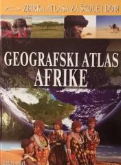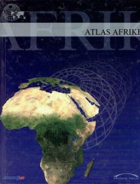
The atlas contains thematic maps of the whole of Africa, physical maps of regions and Africa as a whole, and physical maps and basic data for each of the fifty-four states. There is an index of geographical names.
The book "Vasiona, Zemlja i Mjesen" (1981) is a popular scientific work that explains the basic concepts of astronomy and earth science in an accessible way.
The monumental cartographic work The New International Atlas by Rand McNally from 1980 provides extremely precise multilingual maps and a detailed overview of the geopolitical landscape of the world during the Cold War.
Rand McNally, 1980.
English. Latin alphabet. Hardcover with dust jacket.
A general geography textbook intended for the first grade of secondary schools in the Independent State of Croatia. Contains the basics of physical and general geography, maps and illustrations. The work of the prominent Croatian geographer and pedagogue
A geography textbook for all continents (except Europe) intended for lower grades of secondary schools in the Independent State of Croatia. The work of the prominent Croatian geographer and pedagogue Ivo Juras, illustrated with interesting black-and-white