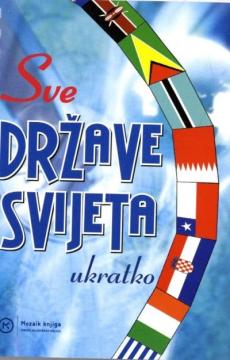
Sve države svijeta : ukratko
Maps and basic information about every country in the world.
The data are: name, state organization, area, number and density of inhabitants, capital city, official language, monetary unit, GDP, codes according to the ISO 3166 standard.
Editor
Ivanka Borovac
Dimensions
15 x 11 cm
Pages
128
Publisher
Mozaik knjiga, Zagreb, 2004.
Latin alphabet. Paperback.
Language: Croatian.
One copy is available
Condition:Used, excellent condition
Added to cart!