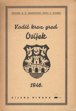
Vodič kroz grad Osijek
An important document reflecting the state of the city immediately after World War II. The guide served as a practical tool for orientation and informing citizens and visitors about the urban layout and infrastructure of the city at that time.
The central part of the guide is a detailed map of Osijek, showing the main roads, public institutions, industrial zones and residential areas. The map was essential for understanding the urban layout of the city, especially in the context of reconstruction and development after the war.
The guide also contains a list of important institutions, such as schools, hospitals, cultural centers and administrative buildings, providing users with a comprehensive overview of the services and facilities available. This document is not only a practical guide, but also a valuable historical source that testifies to the urban planning and social structure of Osijek in the mid-20th century.
One copy is available