Geografski atlas Hrvatske
The atlas provides a detailed overview of the natural, social and economic characteristics of Croatia through contemporary maps, thematic overviews, statistical data and an overview of all Croatian regions. The first book in the series "Collection of atla
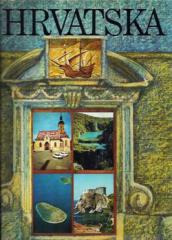
The Geographic Atlas of Croatia by Denis and Demir Šehić is part of the Atlas Collection for Schools and Homes edition, and is intended to introduce the natural, social and economic features of the Republic of Croatia. The atlas combines contemporary cartographic representations, thematic maps and overview texts that provide a comprehensive insight into the geographical space of Croatia.
The content includes physical and political maps of the country with a detailed presentation of relief, river systems, islands, climatic zones, vegetation, transport network and administrative-territorial organization. Special attention is paid to Croatian historical and natural regions and counties, with a presentation of their geographical features, settlements, economic activities and transport connections. Thematic maps cover the distribution of the population, natural resources, agriculture, industry, tourism, protected areas and cultural heritage, while statistical overviews enable comparisons of individual parts of the country.
Numerous photographs, tables and graphs complement the cartographic content and facilitate understanding of the relationship between natural features and the development of the Croatian space. Thanks to the clear organization and clearly made maps, the atlas is a valuable manual for teaching geography, preparing for exams, research work and getting to know the geographical peculiarities of Croatia.
One copy is available