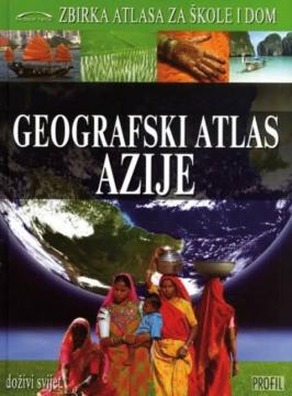
Geografski atlas Azije

Geografski atlas Azije

Denis Šehić, Demir Šehić

The Geographical Atlas of Asia provides an overview of the natural, social and economic features of the largest continent through detailed maps, photographs and overviews. The third of nine books in the "Collection of Atlases for Schools and Home" series.

The Geographic Atlas of Asia by Denis Šehić and Demir Šehić, published by Profil (2009), provides a comprehensive overview of the geographical features of the largest and most populous continent in the world. The atlas combines detailed geographical maps, thematic overviews and overview texts that introduce readers to the diversity of Asian natural, social, economic and cultural features.

The content includes physical and geographical maps showing relief, rivers, lakes, deserts and mountain systems, as well as political maps of Asian countries with capitals, transport networks and administrative divisions. Special attention is paid to the population, economy, natural resources, climate zones and regional peculiarities of individual parts of the continent. Numerous photographs, graphs and thematic maps facilitate the understanding of complex geographical processes and enable comparison of different regions.

The atlas is intended for pupils, students, teachers, travellers and all geography enthusiasts who want to acquire reliable and clearly presented information about Asia. Thanks to the clearly organized content, high-quality cartographic representations and rich informative material, this edition represents a valuable reference publication for education, research and general introduction to the geography of the Asian continent.

Urednik
Drago Glamuzina
Dimenzije
30 x 22,5 cm
Broj strana
175
Izdavač
Profil Knjiga, Zagreb
 
Latinica. Tvrde korice.
Jezik: Hrvatski.

Jedan primerak je u ponudi

Stanje:Korišćeno, u odličnom stanju
Dodato u korpu!
 

Zanima Vas i neka druga knjiga? Možete pretražiti našu ponudu pomoću pretrage ili prelistati knjige po kategorijama.

Možda će Vas zanimati i ovi naslovi

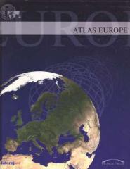
Atlas Europe

Atlas Europe

Denis Šehić, Demir Šehić, Ivan Bertić
Europapress holding.
Hrvatski. Latinica. Tvrde korice.
3,56 - 3,75
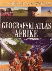
Geografski atlas Afrike

Geografski atlas Afrike

Denis Šehić, Demir Šehić, Ivan Bertić

Atlas sadrži tematske karte čitave Afrike, fizičke karte regija i Afrike u cjelini, te fizičke karte i osnovne podatke za svaku od pedeset četiri države. Postoji kazalo geografskih imena.

Profil International, 2009.
Hrvatski. Latinica. Tvrde korice.
6,42
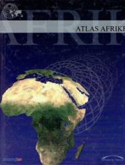
Atlas Afrike

Atlas Afrike

Denis Šehić, Demir Šehić, Ivan Bertić

Atlas sadrži tematske karte čitave Afrike, fizičke karte regija i Afrike u cjelini, te fizičke karte i osnovne podatke za svaku od pedeset četiri države. Postoji kazalo geografskih imena.

Monde neuf, 2005.
Hrvatski. Latinica. Tvrde korice.
3,56 - 5,18
Mladost za mlade: Fotografiranje

Mladost za mlade: Fotografiranje

Hans-Reinhard Schatter

Ova knjiga se fokusira na fotografiju kao umetnost, tehniku i sredstvo izražavanja, ali i kao potencijalno interesovanje mladih ljudi koji žele da istraže svet kroz objektiv.

Mladost, 1972.
Hrvatski. Latinica. Tvrde korice.
3,98
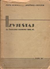
Izvještaj za školsku godinu 1946.-47. Prva gimnazija (muška) Osijek

Izvještaj za školsku godinu 1946.-47. Prva gimnazija (muška) Osijek

Der „Bericht für das Schuljahr 1946/47“ des Ersten Knabengymnasiums in Osijek ist ein jährlicher Schulbericht aus der ersten Nachkriegszeit. Er enthält Daten zu Klassen, Schülern, Lehrkräften und der Arbeit der Schule während der Wiederaufbauphase.

Glas Slavonije, 1947.
Hrvatski. Latinica. Broširano.
13,24
Komunikacije i interakcije u nastavnom procesu : sukob ili saradnja

Komunikacije i interakcije u nastavnom procesu : sukob ili saradnja

Ibrahim Osmić

„Komunikacije i interakcije u nastavnom procesu“ Ibrahima Osmića (2001) je stručno-pedagoška knjiga koja se bavi značajem komunikacije između nastavnika i učenika i međusobnim odnosima u okviru obrazovnog procesa.

Grin, 2001.
Hrvatski. Latinica. Broširano.
9,00