Sjeverna i Srednja Amerika, Veliki Antili
Original title
Nort and Central America, with Greater Antilles
Translation
Vlado Opačić
Editor
Ivanka Borovac
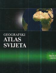
Dimensions
28 x 22 cm
Pages
170
Publisher
Mladinska knjiga, Zagreb, 1991.
Latin alphabet. Hardcover.
Language: Croatian.
Multiple copies are available