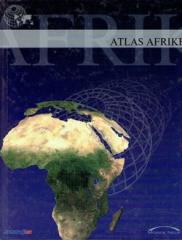
The atlas contains thematic maps of the whole of Africa, physical maps of regions and Africa as a whole, and physical maps and basic data for each of the fifty-four states. There is an index of geographical names.
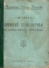
A general geography textbook intended for the first grade of secondary schools in the Independent State of Croatia. Contains the basics of physical and general geography, maps and illustrations. The work of the prominent Croatian geographer and pedagogue
Pictures from General Geography. Book V., Part I.: Russia is a geographical work by Ivan Hoić that provides a systematic overview of the Russian Empire, its natural features, population, economy, and culture.
Matica hrvatska, 1898.
Croatian. Latin alphabet. Paperback.
17.46 €
Atlases and maps • Austro-Hungarian history • Geography • Old textbooks
School atlas by Anton Emanuel Seibert for civic and multi-grade elementary schools, published in Vienna around 1901. Contains 19 main and 12 auxiliary maps of Europe and the world, as well as depictions of Austria-Hungary.
A rare interwar edition of a geography textbook (Belgrade, 1934) with 11 color atlas maps and 150 illustrations. Valuable as an antiquarian and cultural-historical document of education and cartography in the Kingdom of Yugoslavia.