
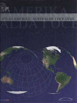
Atlas Amerike, Australije i Oceanije
Više primeraka je u ponudi

Više primeraka je u ponudi
Zanima Vas i neka druga knjiga? Možete pretražiti našu ponudu pomoću pretrage ili prelistati knjige po kategorijama.
The atlas contains thematic maps of the whole of Africa, physical maps of regions and Africa as a whole, and physical maps and basic data for each of the fifty-four states. There is an index of geographical names.
A rare interwar edition of a geography textbook (Belgrade, 1934) with 11 color atlas maps and 150 illustrations. Valuable as an antiquarian and cultural-historical document of education and cartography in the Kingdom of Yugoslavia.
"Pictures from General Geography" is a popular geographical work that depicts Bulgaria, Serbia and Montenegro through their natural features, population, history, economy and culture, with numerous illustrations and a geographical map.
School atlas by Anton Emanuel Seibert for civic and multi-grade elementary schools, published in Vienna around 1901. Contains 19 main and 12 auxiliary maps of Europe and the world, as well as depictions of Austria-Hungary.
Guide with 53 photos, 2 sketches and a color overview map.