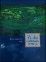
Atlases and maps
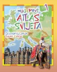
Moj prvi atlas svijeta 1: Geografski atlas Europe i Azije
Educational children's atlas from 2013. Through colorful thematic maps, vivid illustrations and accessible facts, it adapts the geography of Europe and Asia to the youngest explorers of the planet.
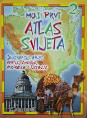
Moj prvi atlas svijeta 2: Geografski atlas Afrike, Amerike, Australije i Oceanije
Educational children's atlas from 2013. Through colorful maps and illustrations, it takes the youngest on a journey through Africa, America, Australia and Oceania, revealing their natural and cultural diversity.
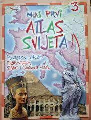
Moj prvi atlas svijeta 3: Povijesni atlas - prapovijest, stari i srednji vijek
Educational children's atlas from 2013. Through colorful maps and illustrations, it takes the youngest on a journey through prehistory, ancient and medieval times, revealing key events and ancient civilizations.
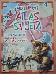
Moj prvi atlas svijeta 4: Povijesni atlas - XX. i XXI. stoljeće
This educational historical atlas provides an overview of key world events of the 20th and 21st centuries. With clear maps and illustrations, the handbook facilitates the understanding of contemporary history and geography.
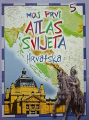
Moj prvi atlas svijeta 5: Hrvatska
This educational children's atlas provides an overview of the geographical, natural and cultural features of Croatia. With picturesque maps and illustrations, the manual brings the homeland closer to the youngest in a fun way.
National Geographic Atlas of the World
The fifth edition of the National Geographic Atlas of the World from 1981 is a monumental cartographic work. It contains detailed maps, satellite imagery, and geographic data from the height of the Cold War.
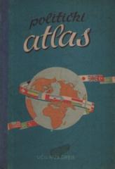
Politički atlas
The Political Atlas (Učila, Zagreb, 1957) is a pocket atlas with political maps of the world and an overview of countries, borders, and geographical features in the period after World War II.
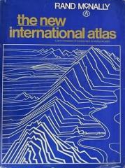
The New International Atlas
The monumental cartographic work The New International Atlas by Rand McNally from 1980 provides extremely precise multilingual maps and a detailed overview of the geopolitical landscape of the world during the Cold War.
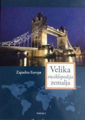
Velika enciklopedija zemalja 3: Zapadna Europa
The third volume of the "Great Encyclopedia of Countries" deals with the area of Western Europe (France, Monaco, Luxembourg...).