Školski atlas Republike Hrvatske

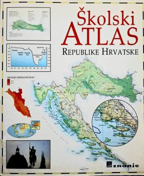
Školski atlas Republike Hrvatske

The School Atlas of the Republic of Croatia (2000) is a fundamental cartographic teaching aid intended for students. It contains detailed geographical, thematic, and historical maps of Croatia and the world, along with supplementary data.

The School Atlas of the Republic of Croatia, published in 2000, serves as a key cartographic resource designed in accordance with the geography curriculum for primary and secondary schools. This visually rich and meticulously crafted atlas is intended to help students develop spatial reasoning, understand geographical phenomena, and navigate maps of various scales. The atlas begins with a detailed overview of the physical and regional geography of Croatia, covering its distinct natural-geographical regions: Pannonian, Mountainous, and Adriatic Croatia. Thematic maps illustrate essential social and economic indicators, including population density, climatic characteristics, vegetation zones, transport networks, and the country's economic development during its first two decades of independence. The second part of the atlas features detailed general maps of the continents and the world, alongside thematic representations of global geographical and demographic processes. Clear cartographic symbols, precisely defined scales, and a comprehensive index of terms and toponyms allow for the quick location of geographical features. The atlas is an indispensable tool for geographical education and independent student research.

Urednik
Anita Filipčić
Dimenzije
29 x 24,5 cm
Broj strana
27
Izdavač
Znanje, Zagreb, 2000.
 
Latinica. Broširano.
Jezik: Hrvatski.

Jedan primerak je u ponudi

Stanje:Korišćeno, u odličnom stanju
Dodato u korpu!
 

Zanima Vas i neka druga knjiga? Možete pretražiti našu ponudu pomoću pretrage ili prelistati knjige po kategorijama.

Možda će Vas zanimati i ovi naslovi

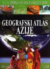
Geografski atlas Azije

Geografski atlas Azije

Denis Šehić, Demir Šehić

The Geographical Atlas of Asia provides an overview of the natural, social and economic features of the largest continent through detailed maps, photographs and overviews. The third of nine books in the "Collection of Atlases for Schools and Home" series.

Profil Knjiga.
Hrvatski. Latinica. Tvrde korice.
6,42 €
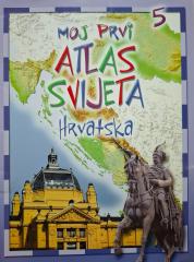
Moj prvi atlas svijeta 5: Hrvatska

Moj prvi atlas svijeta 5: Hrvatska

This educational children's atlas provides an overview of the geographical, natural and cultural features of Croatia. With picturesque maps and illustrations, the manual brings the homeland closer to the youngest in a fun way.

EPH media d. o. o., 2013.
Hrvatski. Latinica. Broširano.
2,50 €
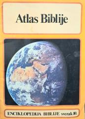
Atlas Biblije

Atlas Biblije

The monumental 10th volume of this exceptional biblical series (KS / GZH, 1980) offers superb geographical, historical, and archaeological insight into the lands, peoples, and events of the Old and New Testaments.

Duhovna stvarnost, 1980.
Hrvatski. Latinica. Broširano.
3,85 €
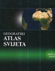
Geografski atlas svijeta - za škole i dom

Geografski atlas svijeta - za škole i dom

Denis Šehić, Demir Šehić
Europapress holding, 2005.
Hrvatski. Latinica. Tvrde korice.
3,24 €
National Geographic Atlas of the World

National Geographic Atlas of the World

The fifth edition of the National Geographic Atlas of the World from 1981 is a monumental cartographic work. It contains detailed maps, satellite imagery, and geographic data from the height of the Cold War.

National Geographic Society, 1981.
Engleski. Latinica. Tvrde korice.
43,46 €