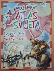
Moj prvi atlas svijeta : povijesni atlas : prapovijest, stari i srednji vijek

Moj prvi atlas svijeta : povijesni atlas : prapovijest, stari i srednji vijek

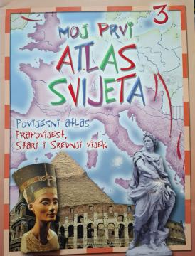
Educational children's atlas from 2013. Through colorful maps and illustrations, it takes the youngest on a journey through prehistory, ancient and medieval times, revealing key events and ancient civilizations.

"My First World Atlas: Historical Atlas: Prehistory, Ancient and Medieval" (2013 edition) is an educational and visually rich publication intended for preschool and early elementary school children. This volume takes the youngest researchers on an exciting journey through the past, explaining to them how people lived and built the first civilizations. The book features adapted historical maps and colorful illustrations that faithfully depict key periods of human history. Through play and observation, children discover life in prehistory and the age of dinosaurs, the secrets of ancient Egypt, Greece and Rome, as well as knights, castles and everyday life in the Middle Ages. Along with the maps, short and accessible texts explain important historical milestones, inventions and ways of life of ancient peoples in a simple and child-friendly way. With a clear and attractive format, this historical atlas stimulates curiosity about the past, develops an understanding of time and space and serves as a perfect first step in learning the history of our world.

Editor
Gordan Zečić
Graphics design
Demir Šehić
Dimensions
29.5 x 22 cm
Pages
31
Publisher
EPH media d. o. o., Zagreb, 2013.
 
Latin alphabet. Paperback.
Language: Croatian.

One copy is available

Condition:Used, excellent condition
 

Are you interested in another book? You can search the offer using our search engine or browse books by category.

You may also be interested in these titles

Moj prvi atlas svijeta : povijesni atlas, XX. I XXI. stoljeće

Moj prvi atlas svijeta : povijesni atlas, XX. I XXI. stoljeće

This educational historical atlas provides an overview of key world events of the 20th and 21st centuries. With clear maps and illustrations, the handbook facilitates the understanding of contemporary history and geography.

EPH media d. o. o., 2013.
Croatian. Latin alphabet. Paperback.
2.50
National Geographic Atlas of the World

National Geographic Atlas of the World

The fifth edition of the National Geographic Atlas of the World from 1981 is a monumental cartographic work. It contains detailed maps, satellite imagery, and geographic data from the height of the Cold War.

National Geographic Society, 1981.
English. Latin alphabet. Hardcover.
43.46
Veliki atlas Hrvatske

Veliki atlas Hrvatske

The Great Atlas of Croatia provides an overview of the natural, historical, economic and social features of Croatia through detailed maps, photographs and overview texts. The first Croatian topographic atlas at a scale of 1:100,000.

Mozaik knjiga, 2012.
Croatian. Latin alphabet. Hardcover.
24.32
The New International Atlas

The New International Atlas

The monumental cartographic work The New International Atlas by Rand McNally from 1980 provides extremely precise multilingual maps and a detailed overview of the geopolitical landscape of the world during the Cold War.

Rand McNally, 1980.
English. Latin alphabet. Hardcover with dust jacket.
28.46
Politički atlas

Politički atlas

The Political Atlas (Učila, Zagreb, 1957) is a pocket atlas with political maps of the world and an overview of countries, borders, and geographical features in the period after World War II.

Učila - Kartografija, 1957.
Croatian. Latin alphabet. Hardcover.
6.42
Geografski atlas Azije

Geografski atlas Azije

Denis Šehić, Demir Šehić

The Geographical Atlas of Asia provides an overview of the natural, social and economic features of the largest continent through detailed maps, photographs and overviews. The third of nine books in the "Collection of Atlases for Schools and Home" series.

Profil Knjiga.
Croatian. Latin alphabet. Hardcover.
6.42