
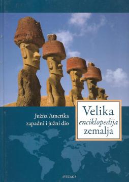
Velika enciklopedija zemalja - Južna Amerika, zapadni i južni dio
One copy is available

One copy is available
Are you interested in another book? You can search the offer using our search engine or browse books by category.
Guide with 53 photos, 2 sketches and a color overview map.
From The Penguin Atlas of World History that offers a unique combination of maps and illustrations with detailed chronological summary.
An encyclopedic handbook for school and every home. More than 500 pages, 200 maps and more than 500 photographs and illustrations. Rich and varied geographical, historical and economic content in encyclopedic format.
A rare interwar edition of a geography textbook (Belgrade, 1934) with 11 color atlas maps and 150 illustrations. Valuable as an antiquarian and cultural-historical document of education and cartography in the Kingdom of Yugoslavia.
The Atlas offers detailed and updated maps of roads, highways, main thoroughfares, but also smaller regional roads in European countries.